Search for keywords in titles, authors, descriptions, and publication year below. For more detailed searches on themes, quads, series, programs, counties, and states, click the "Advanced Search" option.
Displaying 71 - 80 of 513| Map Images | Title | Description | Theme | Program | Series | Quad | Publication Date | Authors | Scale Category |
|---|---|---|---|---|---|---|---|---|---|

|
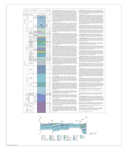
Bedrock Geology of Karbers Ridge Quadrangle, Hardin, Gallatin, and Saline Counties, Illinois | Two 36" x 30" map sheets and one 7-page report; sheet 1 contains map and legends; sheet 2 includes descriptive stratigraphic column and cross section; report contains descriptive text, figure, and 2 tables |
Bedrock Geology | STATEMAP | Illinois Geologic Quadrangle Series (IGQ) | Karbers Ridge | 2010 | F. Brett Denny, B. King, J. Mulvaney-Norris, D. H. Malone | Quadrangle |

|
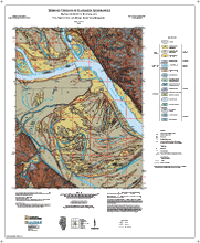
Bedrock Geology of Kaskaskia Quadrangle, Randolph County, Illinois and Ste. Genevieve and Perry Counties, Missouri | Two 30" x 35" map sheets; sheet 1 contains map and legends; sheet 2 includes descriptive text, descriptive stratigraphic column, and cross section. |
Bedrock Geology | STATEMAP | Illinois Geologic Quadrangle Series (IGQ) | Kaskaskia | 2013 | Mary J. Seid | Quadrangle |
|
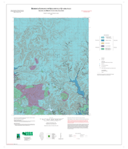
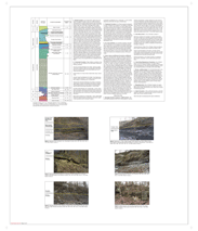
Bedrock Geology of Kellerville Quadrangle, Adams and Brown Counties, Illinois | Two 36" x 30" map sheets and separate 3 page report; sheet 1 contains map and legends; sheet 2 includes descriptive stratigraphic column and 6 photos; report includes descriptive text |
Bedrock Geology | Illinois Preliminary Geologic Map Series (IPGM) | Kellerville | 2008 | Russell J. Jacobson , Zakaria Lasemi | Quadrangle | |
|
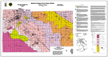
Bedrock Geology of Lee County, Illinois | 1:62,500 Lee County area map; 55" x 30" single map sheet; includes map, legend, descriptive text, stratigraphic column and inset map |
Bedrock Geology | Open File Series (OFS) | 1999 | Christopher S. McGarry | County | ||


|
Bedrock Geology of Marion Quadrangle, Williamson County, Illinois | Two 36" x 30" map sheets; sheet 1 includes map and legends; sheet 2 includes descriptive stratigraphic column and descriptive text |
Bedrock Geology | Illinois Geologic Quadrangle Series (IGQ) | Marion | 2007 | W. John Nelson | Quadrangle | |

|
Bedrock Geology of Millstadt Quadrangle, St. Clair County, Illinois | No map image available. Please contact authors for more information. |
Bedrock Geology | STATEMAP | Millstadt | 1999 | Joseph A. Devera | Quadrangle | |

|
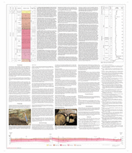
Bedrock Geology of Mount Morris Quadrangle, Ogle County, Illinois | Two 36" x 30" map sheets; sheet 1 contains map and legends; sheet 2 includes descriptive stratigraphic column, cross section, descriptive text, and 3 figures. |
Bedrock Geology | STATEMAP | Mount Morris | 2011 | Mary J. Seid | Quadrangle | |

|
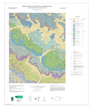
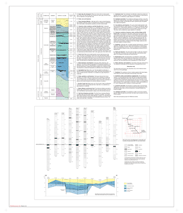
Bedrock Geology of Mt. Pleasant Quadrangle, Union and Johnson Counties, Illinois | Two 36" x 30" map sheets; sheet 1 includes map and legends; sheet 2 includes descriptive text and descriptive stratigraphic column |
Bedrock Geology | STATEMAP | Illinois Geologic Quadrangle Series (IGQ) | Mount Pleasant | 2007 | W. John Nelson, Joseph A. Devera | Quadrangle |
|
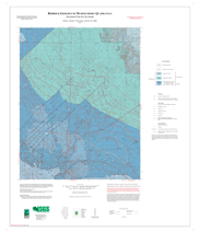
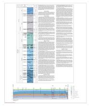
Bedrock Geology of Murphysboro Quadrangle, Jackson County, Illinois | Two 36" x 30" map sheets and 6-page report; sheet 1 includes map and legend; sheet 2 includes descriptive stratigraphic column and log diagram with cross section; report includes descriptive text with 3 figures |
Bedrock Geology | STATEMAP | Illinois Preliminary Geologic Map Series (IPGM) | Murphysboro | 2007 | Russell J. Jacobson , F. Brett Denny, Gary W. Griffith | Quadrangle |

|
Bedrock Geology of New Haven SW Quadrangle, Gallatin County, Illinois | Two 35" x 30" map sheets; sheet 1 contains map and legends; sheet 2 includes descriptive stratigraphic column, unit descriptions, and 1 generalized cross section. A 7-page report includes discussion, 1 table and 4 figures. |
Bedrock Geology | STATEMAP | New Haven SW | 2019 | Nelson, W.J. | Quadrangle |