County mapping is carried out at the ISGS under a variety of programs. The programs exist for different purposes and require different levels of scientific review. Maps are published in specific Series based on the program under which they were created and the corresponding level of review.
Search for keywords in titles, authors, descriptions, and publication year below. For more detailed searches on themes, quads, series, programs, counties, and states, click the "Advanced Search" option.
Displaying 1 - 10 of 86| Map Images | Title | Description | Theme | Series | County | Publication Date | Authors |
|---|---|---|---|---|---|---|---|
|
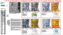
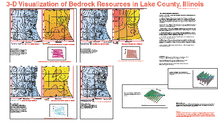
3-D Visualization of Bedrock Resources in Lake County, Illinois | 1:62,500 Lake County map atlas (2 sheets) |
Three-dimensional Model | Open File Series (OFS) | Lake | 2003 | Hannes E. Leetaru |
|
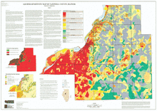
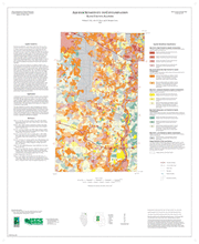
Aquifer Sensitivity Map of Tazewell County, Illinois | 1:62,500 Tazewell County map; 50" x 36" single map sheet; includes map, legend, and inset maps (3) |
Aquifer Sensitivity | Open File Series (OFS) | Tazewell | 2003 | Patrick D. Johnstone |
|
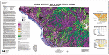
Aquifer Sensitivity Map, Jo Daviess County, Illinois | 1:62,500 Jo Daviess County map; 59" x 30" single map sheet; includes map, legend, and 3 inset maps |
Aquifer Sensitivity | Open File Series (OFS) | Jo Daviess | 2000 | Christopher S. McGarry, Matthew H. Riggs |
|
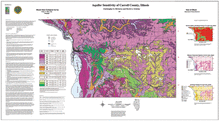
Aquifer Sensitivity of Carroll County, Illinois | 1:62,500 Carroll County map; 53" x 29" single map sheet; includes map, legend, and 3 inset maps |
Aquifer Sensitivity | Open File Series (OFS) | Carroll | 1997 | Christopher S. McGarry, David A. Grimley |
|
Aquifer Sensitivity to Contamination, Kane County, Illinois | One 27" x 33" map sheet; includes map, legends and descriptive text |
Aquifer Sensitivity | Illinois County Geologic Map Series (ICGM) | Kane | 2007 | William S. Dey, Alec M. Davis, B. Brandon Curry |
|
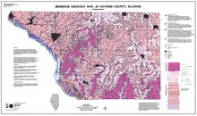
Bedrock Geology Map, Jo Daviess County, Illinois | 1:62,500 Jo Daviess County map; 49" x 29" single map sheet; includes map, legend, and descriptive text |
Bedrock Geology | Open File Series (OFS) | Jo Daviess | 2000 | Christopher S. McGarry |
|
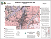
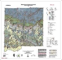
Bedrock Geology of Boone and Winnebago Counties, Illinois | 1:100,000 Boone and Winnebago Counties area map; 33" x 36" single map sheet; includes map, legend and inset map |
Bedrock Geology | Open File Series (OFS) | Boone, Winnebago | 2000 | Christopher S. McGarry |
|
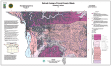
Bedrock Geology of Carroll County, Illinois | 1:62,500 Carroll County map; 45" x 27" single map sheet; includes map, legend, descriptive text, stratigraphic column, and inset map |
Bedrock Geology | Open File Series (OFS) | Carroll | 1997 | Christopher S. McGarry |
|
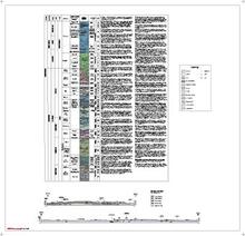
Bedrock Geology of Johnson County, Illinois | Two 40" x 40" map sheets; sheet 1 contains map, legends, and 2 figures; sheet 2 includes 1 geologic column, legend, and 2 cross sections. Accompanying 38-page report includes discussion, references, 14 figures, 3 tables, and appendix. |
Bedrock Geology | Johnson | 2021 | W. John Nelson, Joseph A. Devera, Charles F. Hoffman | |
|
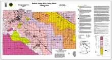
Bedrock Geology of Lee County, Illinois | 1:62,500 Lee County area map; 55" x 30" single map sheet; includes map, legend, descriptive text, stratigraphic column and inset map |
Bedrock Geology | Open File Series (OFS) | Lee | 1999 | Christopher S. McGarry |