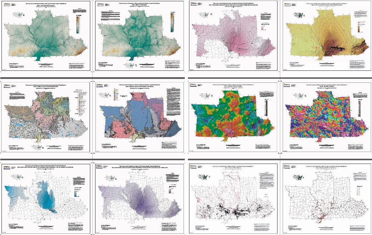
Map PDF
Report Image

General Information:
Description
Twelve 34" x 27" map sheets; each map depicts a different data theme for the 4-state area of Missouri, Illinois, Indiana, and Kentucky; 13-page report includes text and 12 figures.
Publication Details:
Publication Date
2016
Ordering Information